VISITORS
History, Location and Climate
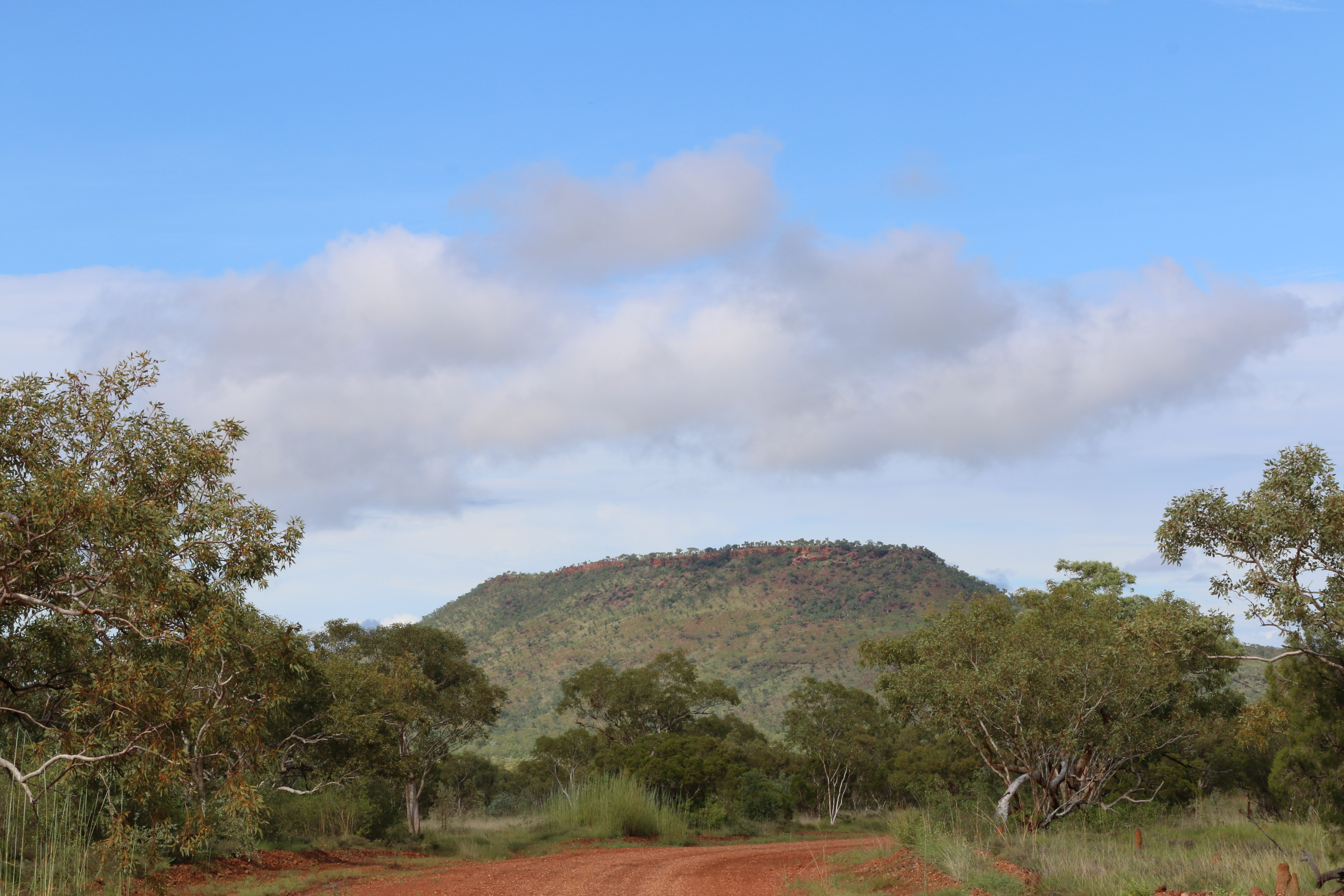
The Environment
The Victoria Daly Region is a beautiful place to live and has two very distinct climates, the dry season and the wet season. It has a complex weather system, with a mean annual temperature of 39.7°c. Towards the end of the cooler dry season, the locals prepare for what is known as “the build up”, an extreme increase in temperature and humidity, followed by late afternoon rain and storms.
Like all regions across Australia, depending on the time of year, prevailing weather or other circumstances can increase the risk of a disaster or environmental emergency happening within the region. It is important to know what you can do to minimise any harm to yourself, your family and your home.
Please read on and learn about the Victoria Daly Regional Council located in the Northern Territory.
The Big Rivers Region
The Big Rivers Region has an abundance of naturally and culturally significant landscapes which attract many tourists during the dry season. Many small communities and towns, including the northern communities of Pine Creek and Nauiyu, as well as the southern communities of Timber Creek, Kalkarindji and Yarralin, make up the Victoria Daly Region which forms part of the Big Rivers Region covering a total area of 360,873 square km.
The Northern End
The Northern End encompasses an area including Darwin. It has a tropical climate with high humidity and two seasons, the wet (November to April) and dry season (May to October). During the dry season nearly every day is warm and sunny, with afternoon humidity averages around 30 per cent. There is very little rainfall between May and September. In the coolest months of June and July, the daily minimum temperature may dip as low as 14 °c. The wet season is associated with tropical cyclones and monsoonal rains. The majority of rainfall occurs between December and March, when thunderstorms are common and afternoon humidity averages over 70 per cent. On average, close to 2000 mm of rain falls in this region, with the highest rainfall occuring in the north western coastal areas (often exceeding 2100 mm).
The Central Desert Region
The Central Desert region includes Alice Springs and Ayers Rock. It is semi-arid with very little rain fall during the hottest months from October to March. Central Australia receives less than 250 mm of rain per year. The highest temperature recorded in the region was 48.3 °c at Finke in 1960. Interestingly, Alice Springs recorded the lowest temperature for the area; a chilly -7.5 °c.
Environmental Conditions
With the chance of experiencing severe weather events, Council has undertaken a detailed risk assessment to identify potential hazards.
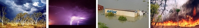
The highest identified risks across the Victoria Daly Region are:
Severe weather-related events and natural dangers include:
- Storms
- Cyclones
- Flooding
- Bushfires
- Crocodiles
Everyone living in the Big Rivers Region needs to understand how to prepare for these risks and stay informed on how to respond should an emergency become likely.
Storms and Cyclones
The wet season usually starts in the Victoria Daly Region with severe heat and thunderstorms in late October. This is called “the build-up”. Unlike Darwin, the risk of a major flood or electrical storm is rated as very high – particularly in areas around Daly River. This makes travel within the region extremely difficult due to road closures. The dry season is a pleasant time of year in the Northern Territory, attracting many tourists to the beautiful Big Rivers Region. For storm and severe weather advice and local weather warnings, listen to the local radio stations and keep up to date by visiting the Bureau of Meteorology website.
Flooding
Flooding in the Victoria Daly Region area can occur any time of year. Inland flooding of the region’s waterways, creeks, rivers and low-lying plains is a regular occurrence. Council recognises that it is never possible to eliminate all risk of flooding and flood damage in the region. However, by making yourself aware of the characteristics of flooding in your local area you can reduce the risks. So find out about the flood risks of specific areas of the Victoria Daly Region. Dangers are inherent in all floodwaters – across roads, creeks, dams, parks or backyards – so never enter any floodwater be it on foot, rubber dingy, body board or in your vehicle: If it’s flooded, forget it.
Bushfires
The Victoria Daly Region’s bushfire season starts in the dry season at the beginning of April and runs through until the beginning of the wet season in late October, however there may be a bushfire risk at other times, depending on local conditions. If you live in or near bushland, you need to be prepared for the possibility of bushfires.
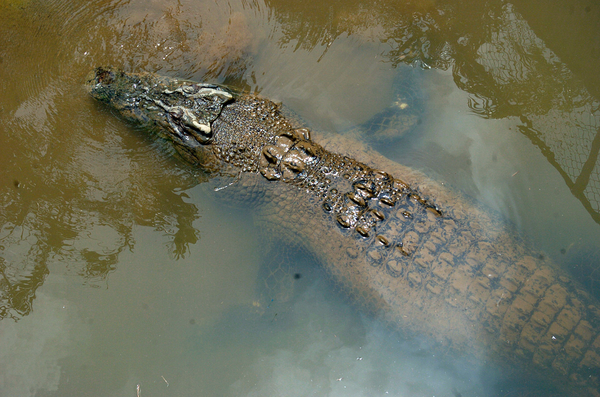
Crocodiles
The Northern Territory Government Parks and Wildlife Service actively manage saltwater crocodiles to reduce the risk of crocodile attacks across the Top End. It must be assumed that any body of water in the Top End may contain large and potentially dangerous crocodiles. People need to be crocwise and know how to enjoy the waters in safety.
CROCWISE integrates public education and active crocodile management by the Northern Territory Government to reduce the risk of crocodile attacks in the Top End.
Roads & Permits
Road
The Road Report Website is an essential service for all road users within the Northern Territory. This website provides up to date road condition information on all Government controlled roads including graphical representations of restrictions on regional maps.
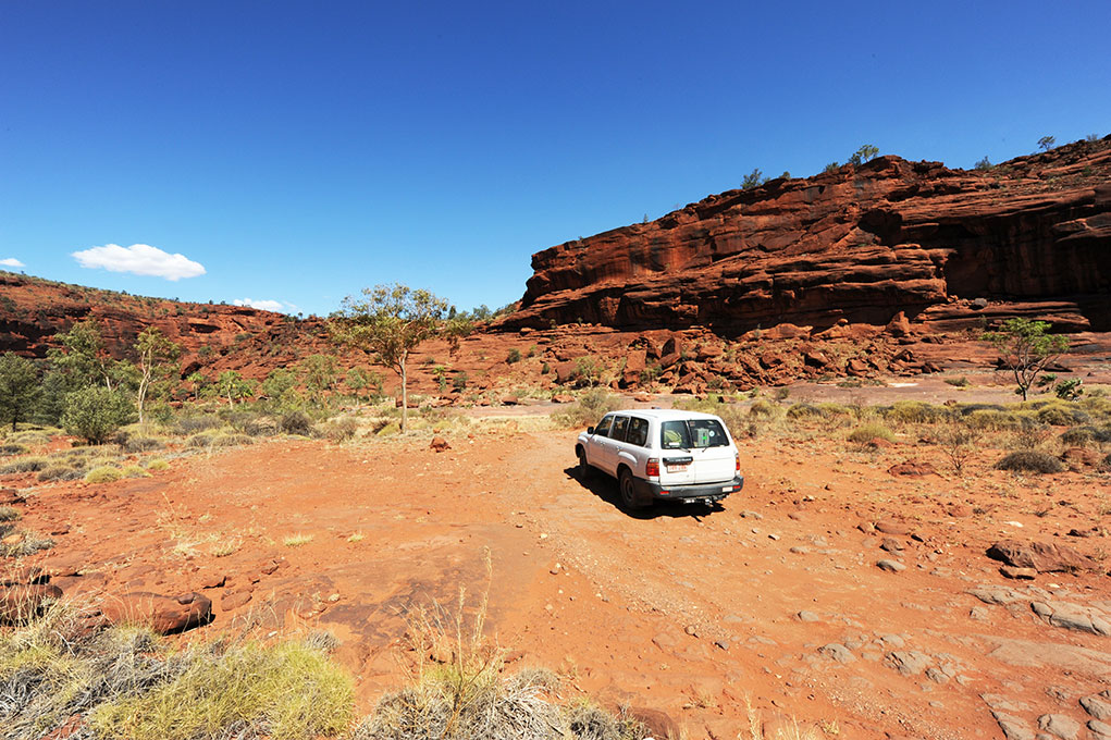
Nature and the Landscape
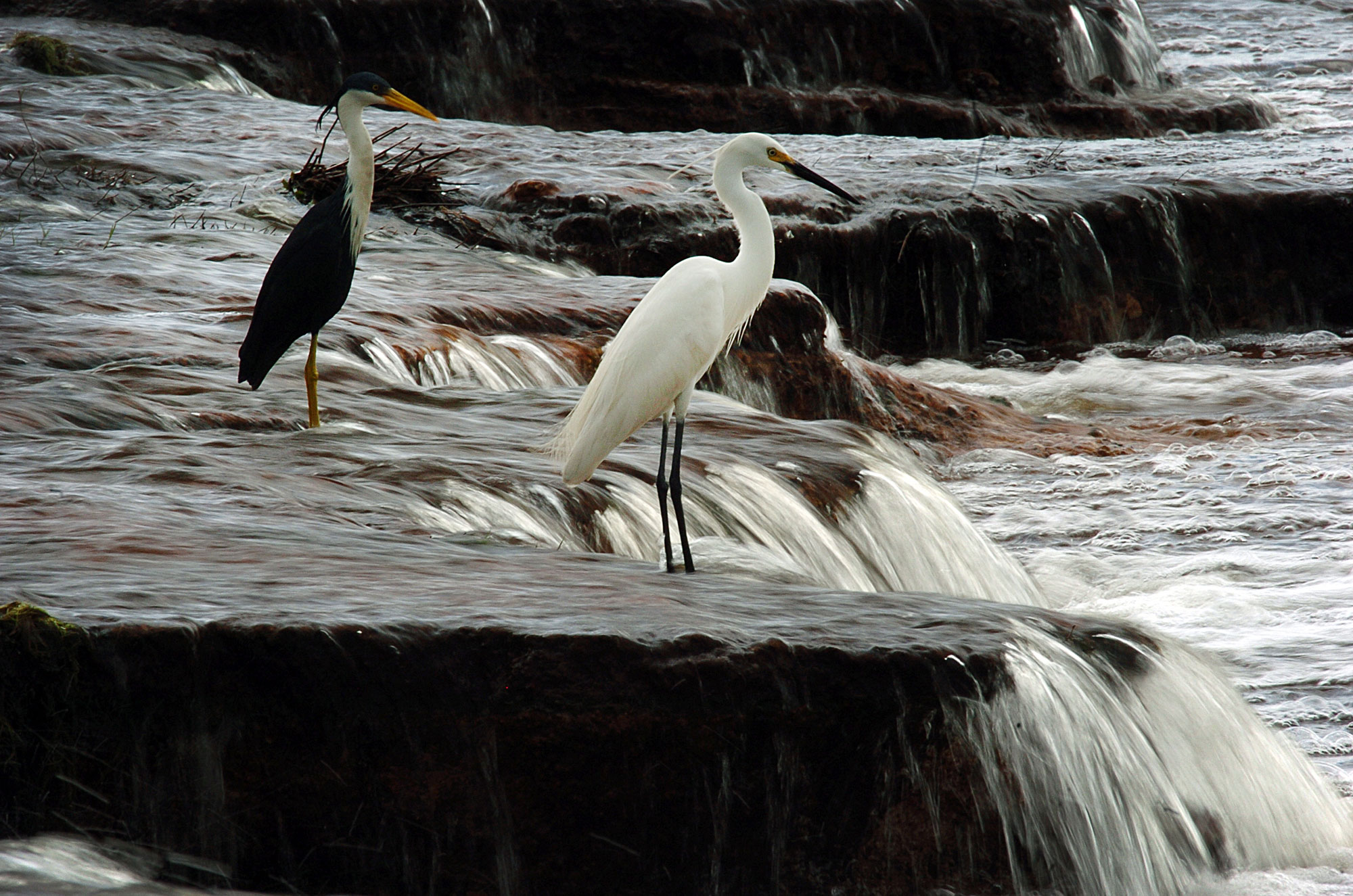
Rivers & Waterways
From the bush to the billabongs – the river catchments within the Victoria Daly Region are the lifeblood of the region. The rivers flow across the region, and carry with them a source of economic, social and environmental wellbeing – central to the region’s character and culture.
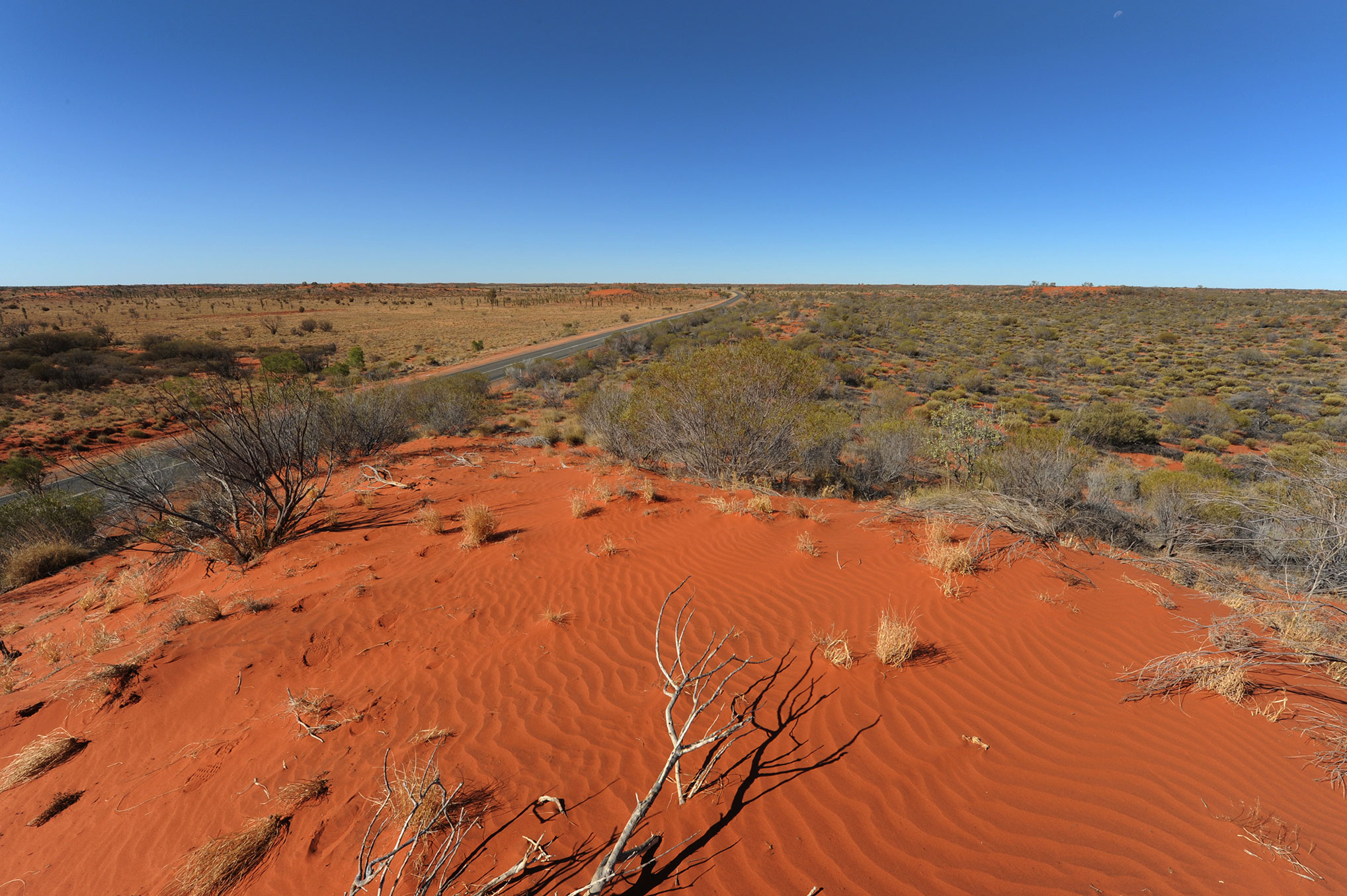
Deserts
The Simpson Desert is approximately 176,500 sq km, which is bigger than the country of Greece (131,957 sq km). It is located near the centre of Australia and extends into the southern region of the Northern Territory. The desert is a spiritual area for the Aboriginal people, and they have stories about its various features.
Did you know: the oldest river system in the world, the Finke River, is located right here in the Northern Territory?
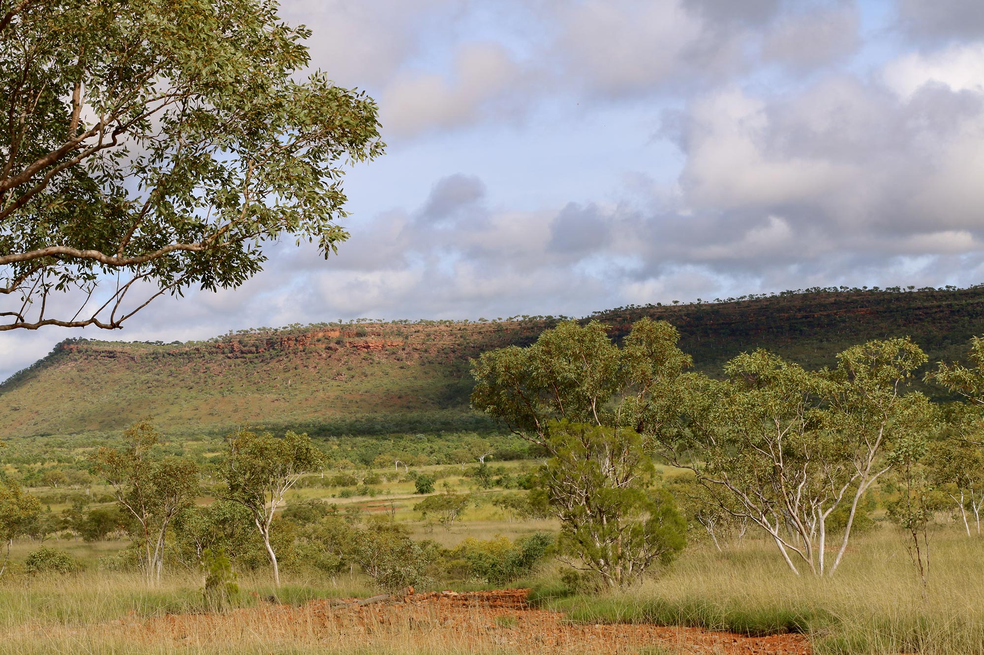
Mountains
The Harts Range, MacDonnell Range and Petermann Range are the major mountain ranges of the Northern Territory. The highest peak in the territory is Mount Zeal. Its elevation is 1,531 metres and is located in the western part of the MacDonnell Range.
Rock Formations
The Northern Territory is home to the world’s largest exposed rock, the Uluru/Ayers Rock. Other famous rock formations are the Kata Tjuta and the Olgas, which are both 500 million years old and consist of a total of 36 separate domes.
Islands
Three of the largest islands in Australia are located just off the northern coast of the territory: Bathurst Island, Groote Eylandt and Melville Island. Together, Bathurst Island and Melville Island form the Tiwi Islands, which are often visited for their unique cultural offerings.
Escarpments
The Northern Territory is known for its breathtaking escarpments that line the floodplains of Arnhem Land. Waterfalls run through many of the escarpments at Kakadu National Park, and all are accompanied by spectacular landscapes.
Feral Animal Species
About 80 introduced animal species have established significant feral populations on mainland Australia and some of these have become major environmental and agricultural pests. In the Northern Territory there are currently 18 mammal species and 51 bird species declared as feral species under section 47(1) of the Territory Parks and Wildlife Conservation Act 2006 and therefore subject to control. Some of these animals include camels, horses, pigs, foxes, buffalo, cats, dogs, rats, rabbits and cane toads amongst many others. For more information regarding feral animals, including the cane toad.
Native Plant Species
The Northern Territory has over 4,100 species of native plants including some 567 endemic species, many of which are of conservation significance. With the Territory comprising of (roughly) one sixth of the Australian land area (or 1.335 million km2) across a range of topographic, edaphic and climate conditions, there is also a great diversity of vegetation communities.
Native Animal Species
The Territory is rich in wildlife, in part because it spans a substantial environmental range from the deserts to the monsoonal tropics. Documentation of the Territory’s biodiversity is relatively recent, although Aboriginal Territorians have long held a profound knowledge of their environments. The bird and mammal fauna is now closer to comprehensively being described, but new species of fish, frogs, reptiles, invertebrates and plants continue to be discovered. The Territory’s vertebrate fauna includes about 400 species of birds, 150 species of mammals, 300 species of reptiles, 50 species of frogs, 60 species of freshwater fish and several hundred species of marine fish.
Sustainable Living
Climate change is a change in climate patterns due to an increase in the earth’s temperature, which in turn has been attributed to increased levels of greenhouse gases in the atmosphere. Changes in weather conditions could lead to serious impacts on housing and infrastructure, biodiversity, agriculture, water supplies, human health, transport and tourism. Living sustainably and reducing our environmental impact can help reduce greenhouse gas emissions and contribute to mitigating the devastating effects of climate change. For more information regarding on the The Australian Government’s National Action Plan for Living Sustainably
Emergency contact Information
Additional information can be gained from contacting the Red Cross in Katherine:
Address
Riverbank Drive, Katherine NT
Postal Address
PO Box 13, Katherine NT 0851
Phone
08 8971 1246
Fax
08 8971 0363
If you are fit and healthy it is your responsibility to prepare your home, yourself, your pets and others to minimise disruption to your lifestyle. You need to prepare a survival kit to sustain you and your family for a minimum of three days or until help can reach you.
Emergency List of Contacts
Call 000 for the police, ambulance or fire brigade in a life threatening situation. The Northern Territory Police, Fire and Emergency Services is a tri-service with an overarching vision to enhance community safety and protectionthrough excellent policing, fire prevention and emergency response services to the community.
Call council on (08) 8972 0777 to report problems with council service or infrastructure, such as roads covered by water or fallen trees/debris etc.
Remember
Safety is important
Address
29 Crawford Street,
Katherine East NT 0850
Postal Address
PO Box 19, Katherine NT 0851
Further Enquiries Please Contact
(08) 8972 0777